Granny Hat has been frustrated with the GPS coordinates recorded by Mission’s Spot device. Those of you following have noticed that some days he seemed to be losing ground, but then if you look at the San Gabriel Mountains that circle the Los Angeles basin, you will notice that the PCT has been heading west for many days with little latitude increase. But starting today, the trail has turned north toward the Sierra Nevada! Goodbye Southern California!
Mission celebrated Memorial Day with another merry meeting, this time in Green Valley with Aunt Sonia and his Dad who plans to hike with him for a few days through the Antelope Valley to Tehachapi and beyond. The 500 mile marker is coming soon! And hopefully there are still some California poppies left to hike through.


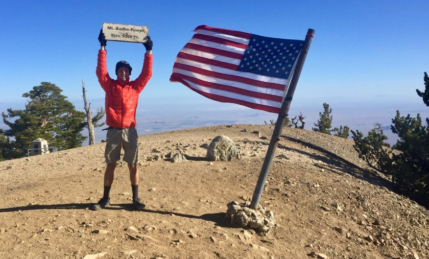
Mission finally was able to send in some beautiful photos taken during his first three weeks on the trail. The PCT path is simple and narrow and often affords majestic views:


Sometimes it wanders through lovely trees and meadows:


Other times it toils relentlessly through the desert:


It is home to some very watchful creatures:


The path will sometimes take the traveler through the cloud.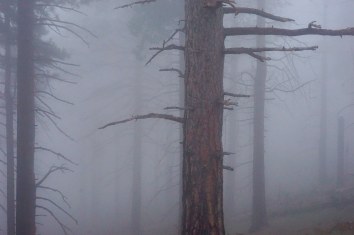
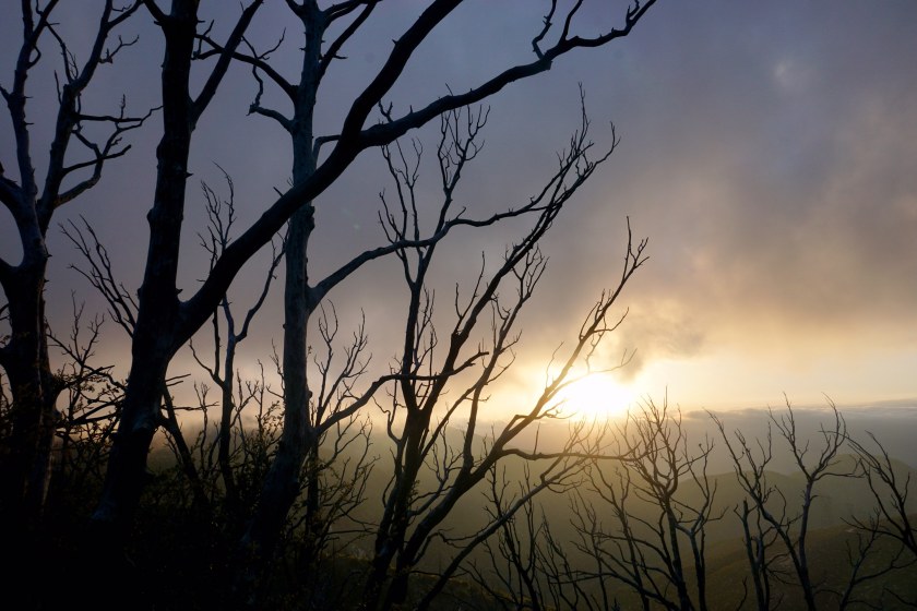
 And other times lift him above into the sunlight. God’s creation is amazing!
Mission arrived yesterday at Hiker Heaven, Agua Dulce, CA where he received re-supply box #4 and finally pitched his tent in civilization. You choose, which camp site do you prefer? Hiker Heaven? or the Room with a View?


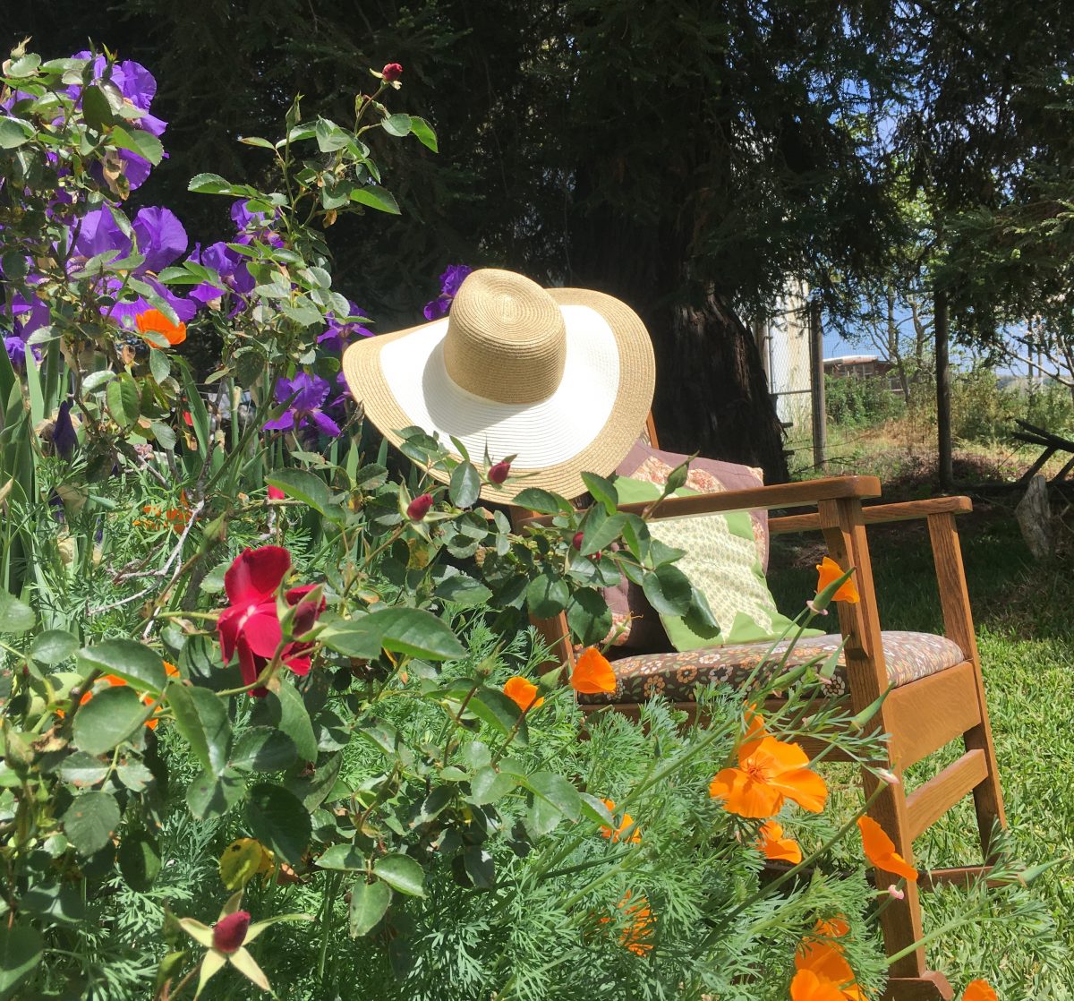
 Granny Hat doesn’t have much to say in this post, the pictures say it so much better.
“From the rising of the sun, to its going down, the Lord’s name is to be praised.” Psalm 113:3 Mission’s GPS coordinates this evening 34.68767, -118.52203

wow… the pictures are beyond beautiful….
LikeLiked by 1 person
His photography is stunning as always.
LikeLike
Love the beautiful pictures. And love that dad gets to join him!! What a special time.
LikeLike
It is so much fun following your blog, and Stephan’s photography is breathtaking!
LikeLike
Thank you Folene!!!!
LikeLike